Buckhorn Bivy
Living in Seattle means you are tantalizingly close to just about every outdoor sport be it mountain biking, hiking, sea kayaking, rock climbing, parasailing, everything.
The thing about all these sports, about recreating in the outdoors in general, is that it’s irrefutably safer to have a partner because things happen. Even though I do a lot of solo hiking and perhaps have a higher tolerance for navigating alone, in the mountains and in life, to bridge into loftier objectives in the alpine I need a partner.
The most challenging part of moving to Seattle has been the potential for such incredible adventures, but not yet having a group of friends to venture with. Making friends as an adult is incredible hard and like finding a life-partner, a solid adventure buddy is a needle in a hay stack. However, a few months ago I found one named Jess.
I met Jess through her boyfriend, a mountain guide who led my dad and I up Kulshan (Mt.Baker) last May. He thought Jess and I would get along and sure enough, after meeting up for beers, we began plotting our first hike together. She lives across the Sound on the Olympic Peninsula, so we decided I would take the ferry over, scoop her up, and head into the Olympic Mountains.
In my mind, hiking in summer means hiking to an ice cold alpine lake, the farther out and higher up the better. So, I spent an evening studying a paper map of the Olympics, in bed with a cup of tea and some classical piano tinkling in the background, scanning the landscape looking for the tiny blue dots that indicate alpine lakes and tarns. I came across a blue puddle high up in the mountains called Goat Lake, and when I traced the trail from the lake looking for the trailhead I found unexpectedly that the trailhead is shared with one of the most iconic hikes in Olympic National Park, Royal Basin.
Despite its reputation I had not heard of Royal Basin before Jess mentioned it early on in our brainstorm. We had discussed the possibility of going there, but permits to camp in the basin are competitive and we were unable to find any. However, finding that the trailhead for Royal Basin and Goat Lake were one in the same, I began to wonder if it was possible to create a loop. The typography of the map suggest it might be possible to hike up and over the peaks surrounding Goat Lake and drop down into Royal Basin. The map also informed that the ridge west of Goat Lake is the border between the Buckhorn Wilderness and Olympic National Park, meaning we could camp at Goat Lake or up on the peaks without a permit, then head into the basin the following day.
Farther research proved the a loop was possible, with a handful of accounts detailing the scramble down the north side of the dividing ridge. All the reports were brief but collectively gave me the confidence to propose the idea to Jess. She was down.
To get to Goat Lake is a straight forward hike. Despite many trail reports claiming navigation is required, Jess and I found the trail well defined and easy to follow. The last two miles is a notorious launch, a steep incline along a narrow, dusty path that leads out of the lush forest. One section, somewhere within the first mile cliffs out to the left, but meditating on sustaining a slow and steady pace distracted from this hazard. This cliff combined with the thirsty trail, slick with dust (it has barely rained all summer) would be far more intimidating on the descent, polls would be a good idea.
The trees begin to thin as you approach the lake and in July leaving the shade of the forest meant it was a hot final mile to the lake. Several times I thought we were arriving, only to find it was a false summit of sorts. Finally this trickery of perception fell away as we crested the final hill arriving at the oasis of Goat Lake, lush from the abundance of fresh cold water, the giver of life. The labor of the final two miles melted away instantly, as it always does.
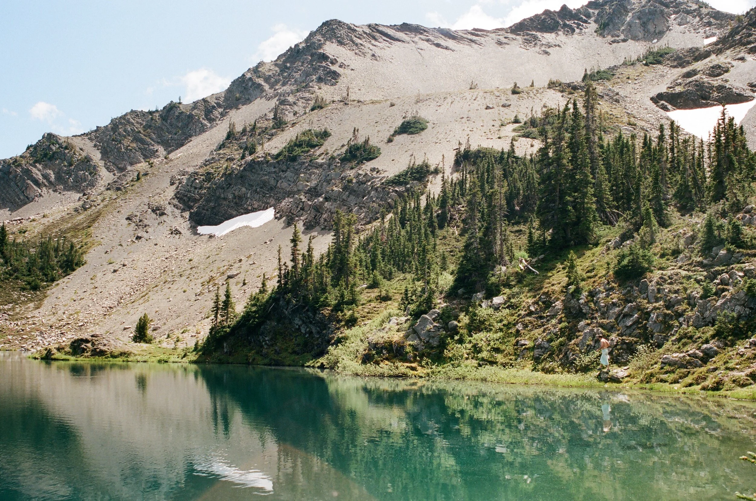
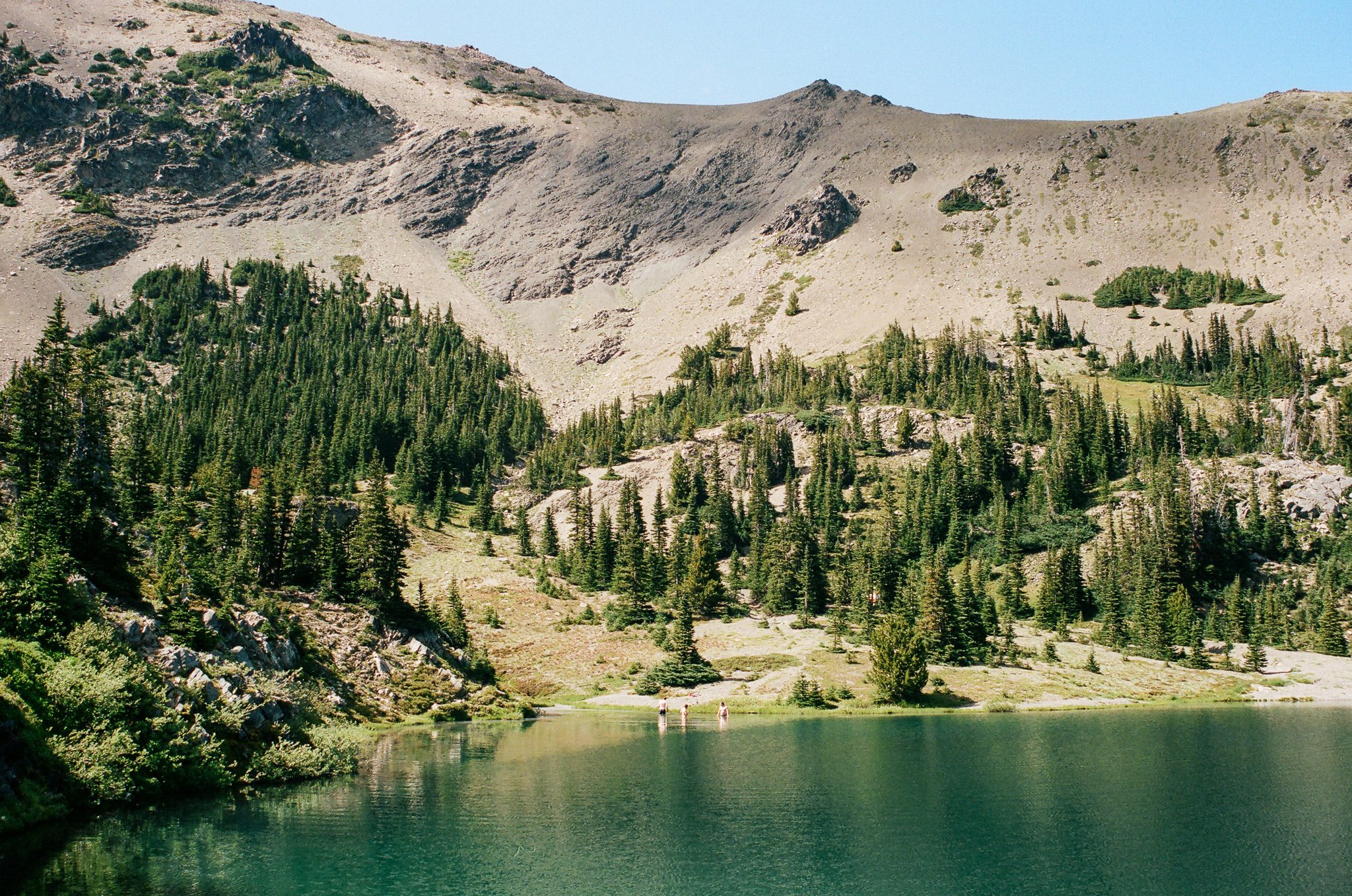
It was noon when we arrived at the western edge of the lake, immediately stripped and jumped in. Goat Lake is much larger than I had imagined with deep blue waters. After the first of many swims, we stretched out on our sleeping pads to dry off and chatted away.
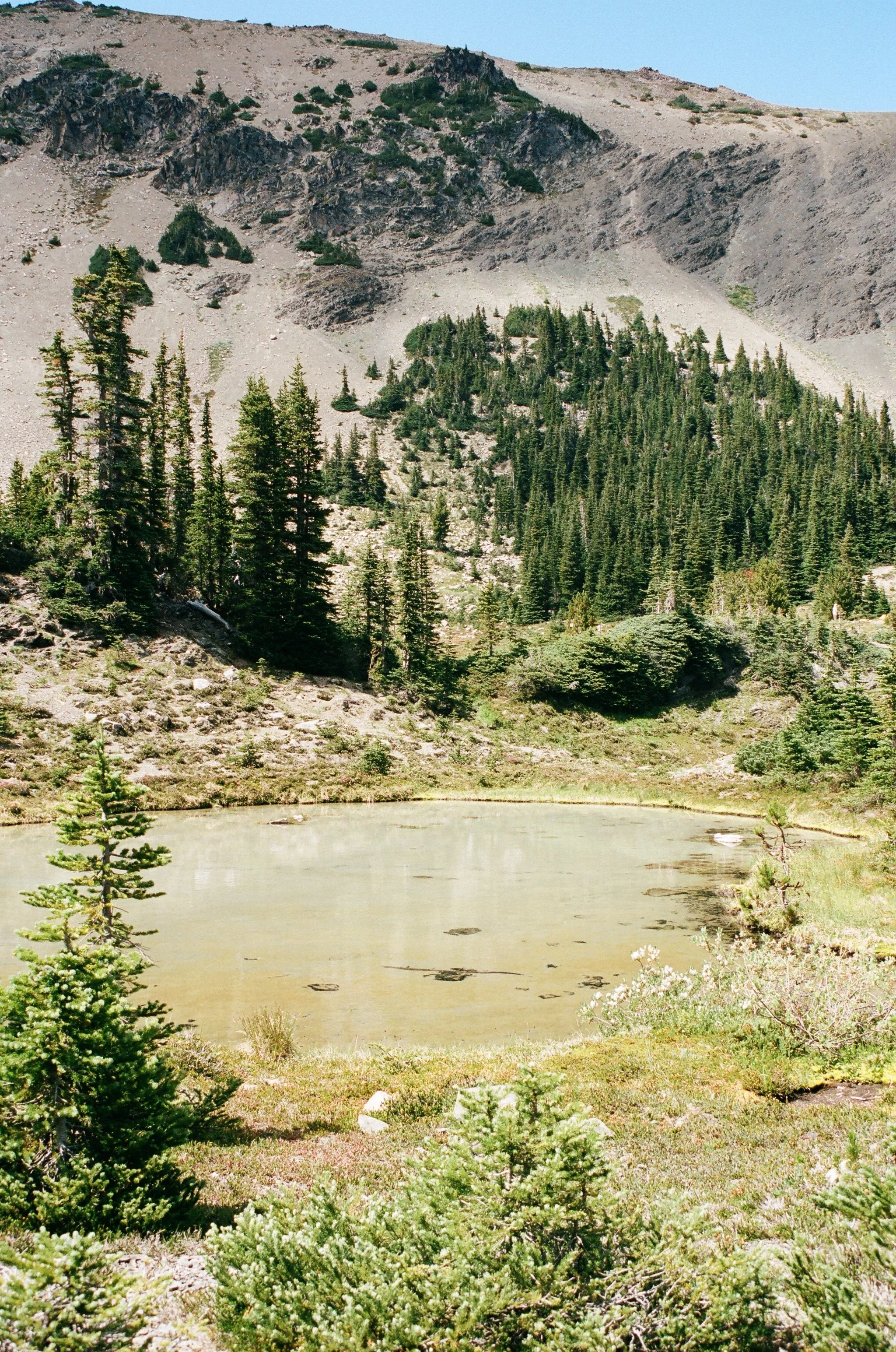
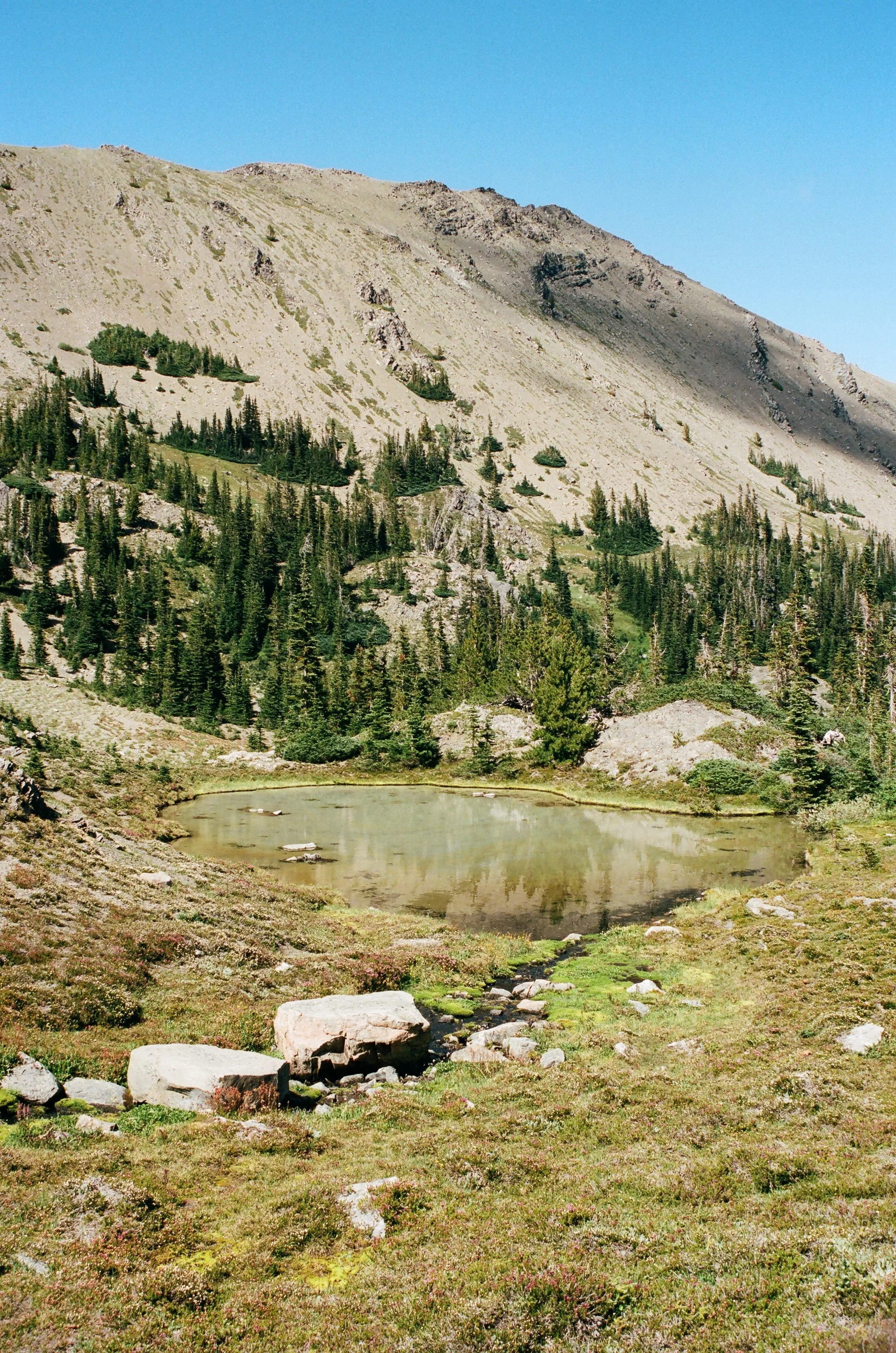
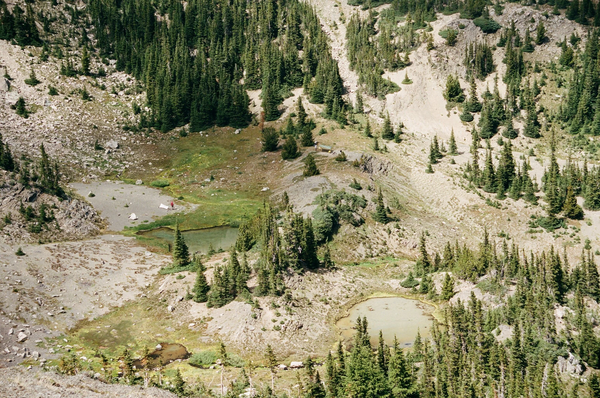
Once dry and unknowingly sunburned along our sun-facing sides, we decided to explore. I remembered seeing a smaller lake on google earth. I looked around and tried to identify a bowl that might house this smaller lake. We headed southwest and came across a collection of tarns, shallow ground fed ponds. One was particularly beautiful, its edges lined with brilliantly yellow flora, lichen or something similar.
We continued up a boulder field, hopping from rock to rock, still chatting away, but when we reached the place where I thought this other lake might be it was merely a continuation of the scree field, dry as a bone. There was no lake, but there was a view over Goat Lake, a vantage point from which we watched tiny people below pitch their tents and swim.
After an hour or so of watching the view and talking about life, we made our way back to our spot at the lake’s edge and jumped in for another swim. The water was cold, but swimmable. I stayed in for a long time, diving down to feel the gradient of cold change with depth and opening my eyes to be emerged in nothing but brilliant blue.
Eventually I forced myself out, wanting to dry off completely before we made a move. Jess and I were well suited partners in adventure, not only because we had been talking non stop since I had picked her up at 7:30am, discovering one common interests after another, but because we shared the same ethos. The goal was to be outdoors, there was no timeframe, no objective, no expectations, we would make decisions as we went based on how we felt and what we saw in front of us.
Petunia Peak
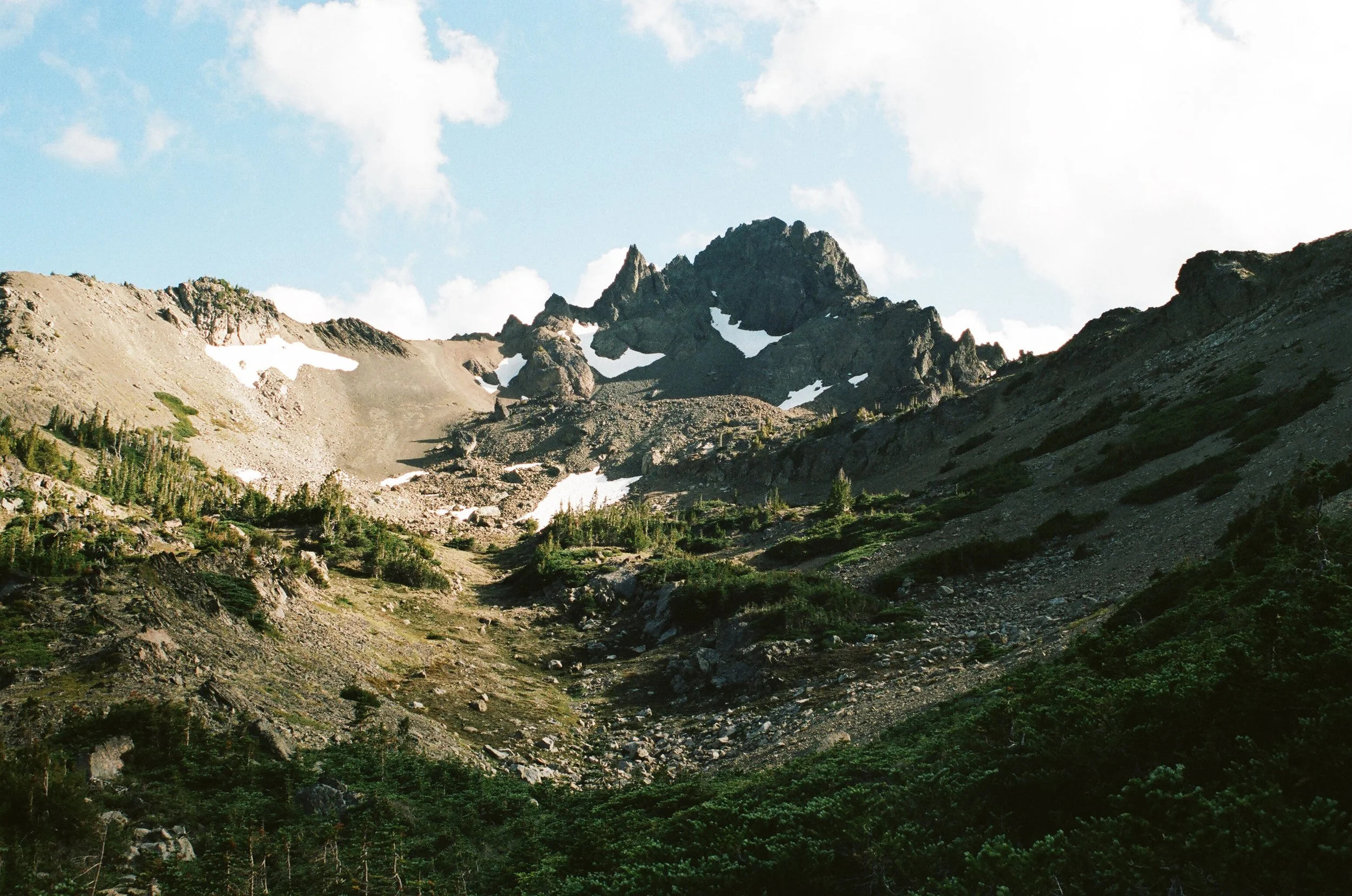
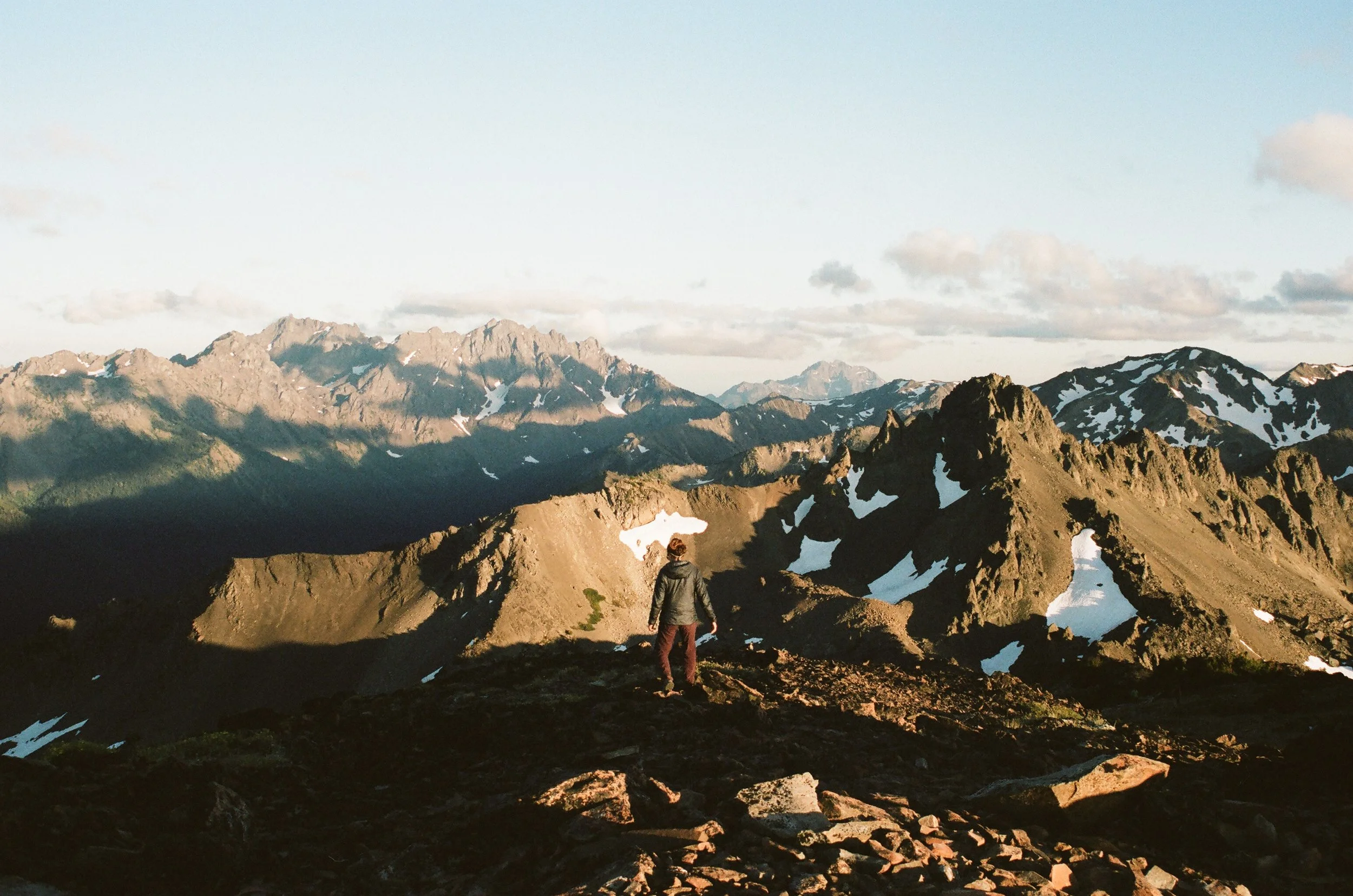
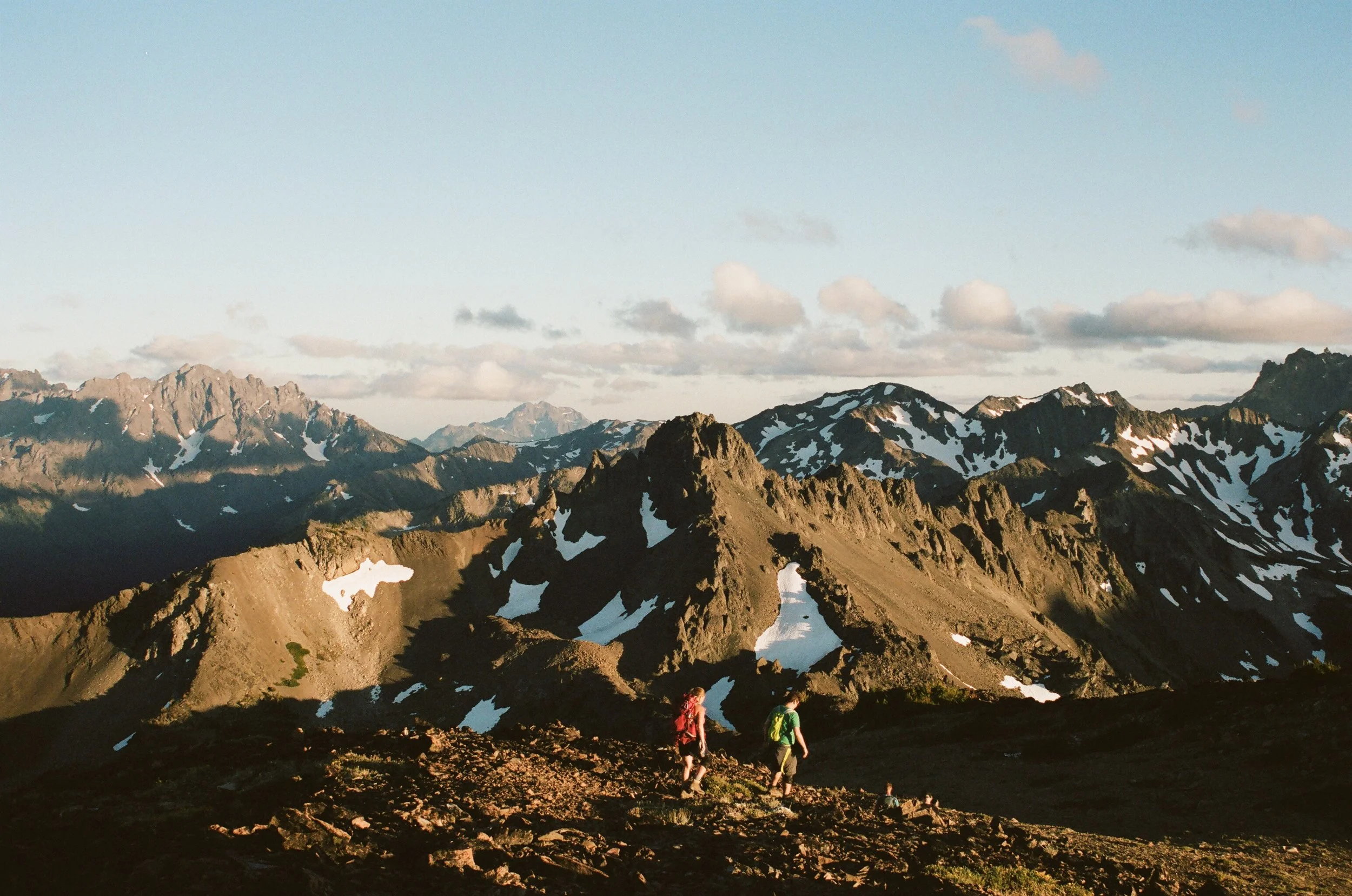
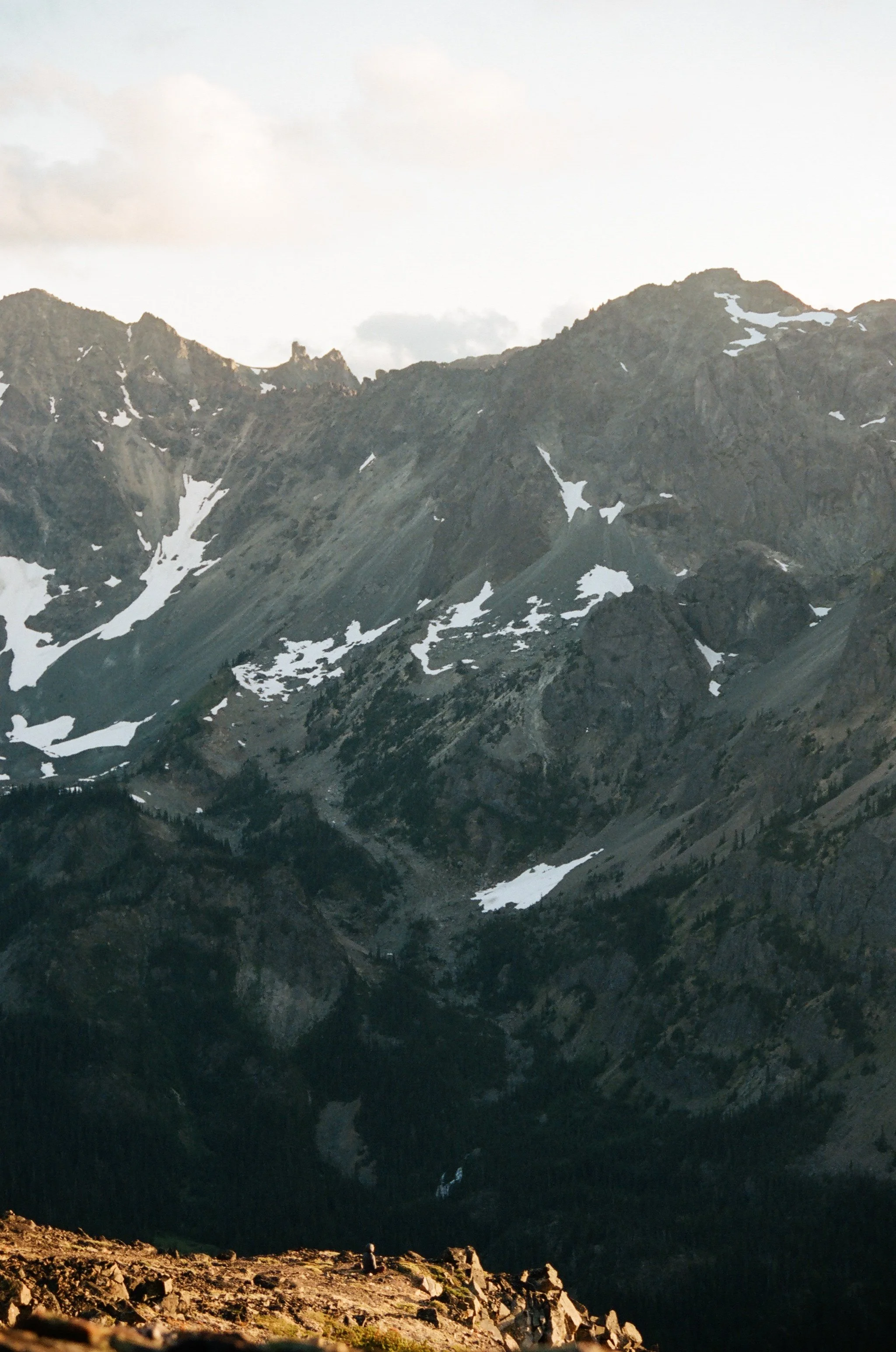
After spending the whole afternoon at Goat Lake we both felt ready to move on and climb up to the ridge where we would spend the night. We were heading to a peak called North Petunia, a gentler counterpart to the rugged Petunia Peak, where a trail report I had read stated there was one solid bivy spot. Sleeping on this ridge would offer views of the sunset and allow us to assess the scramble down to Royal Basin.
We filled up on fresh water, enough to last us the rest of the day and the next morning, before heading off, though neither of us were sure of the way. I lead us up a scree field, a marmot sounding their alarm as we moved up the rocks, or perhaps sounding that the sun was beginning to set and evening was coming. Slowly we made our way up, my navigation occasionally validated by a pair of faint foot prints etched into the sandy sections of the slope.
Several times we stopped to figure out where we should go. I suggested heading off to the left to a very mild looking notch, Jess countered by pointing to the notch above us, maybe fifty feet away and significantly more vertical. Okay, I said, and pressed on towards the challenge. It was definitely the more direct choice and only felt sketchy when the occasional hand hold broke off, my poles got in my way, and when our impact dislodged small rocks that crashed down the scree field below us.
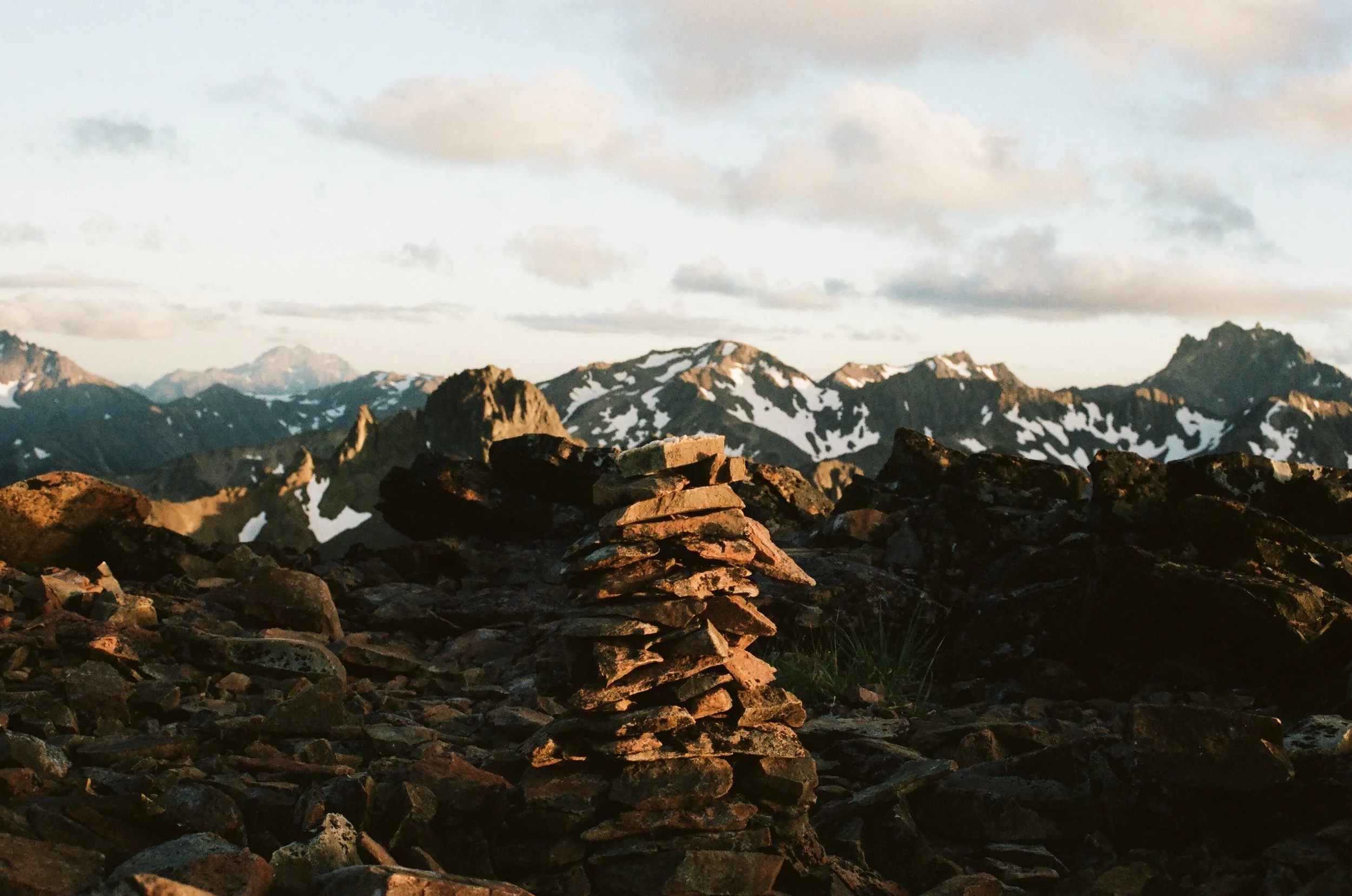
It had been a long day when we finally made it to the peak of North Petunia. We scouted out all the possible spots to sleep before deciding to set up our bivy in the flat saddle between the true summit and the false. A report I had read told of just one obvious bivy spot but we found there were several options.
With plenty of sunlight left we threw down our packs, fished out our respective dinners, another sandwich for jess, she had packed six, and some snacks for me. I wasn’t very hungry and didn’t want to use water for the ramen I had brought. I don’t have many irrational fears, but I get a little nervous when water is limited, I don’t like to be thirsty. I had three liters to last approximately fourteen hours, ten of which I hoped to be sound asleep and for the other four I would be preoccupied by the tedious, detailed work of scrambling. I was going to be just fine, but we all have our soft spots when it comes to being outdoors, elements that drain our morale. For me it’s thirst, wind and relentless sun exposure that over time drain me of energy and positivity.
North Petunia Peak
Goat Lake
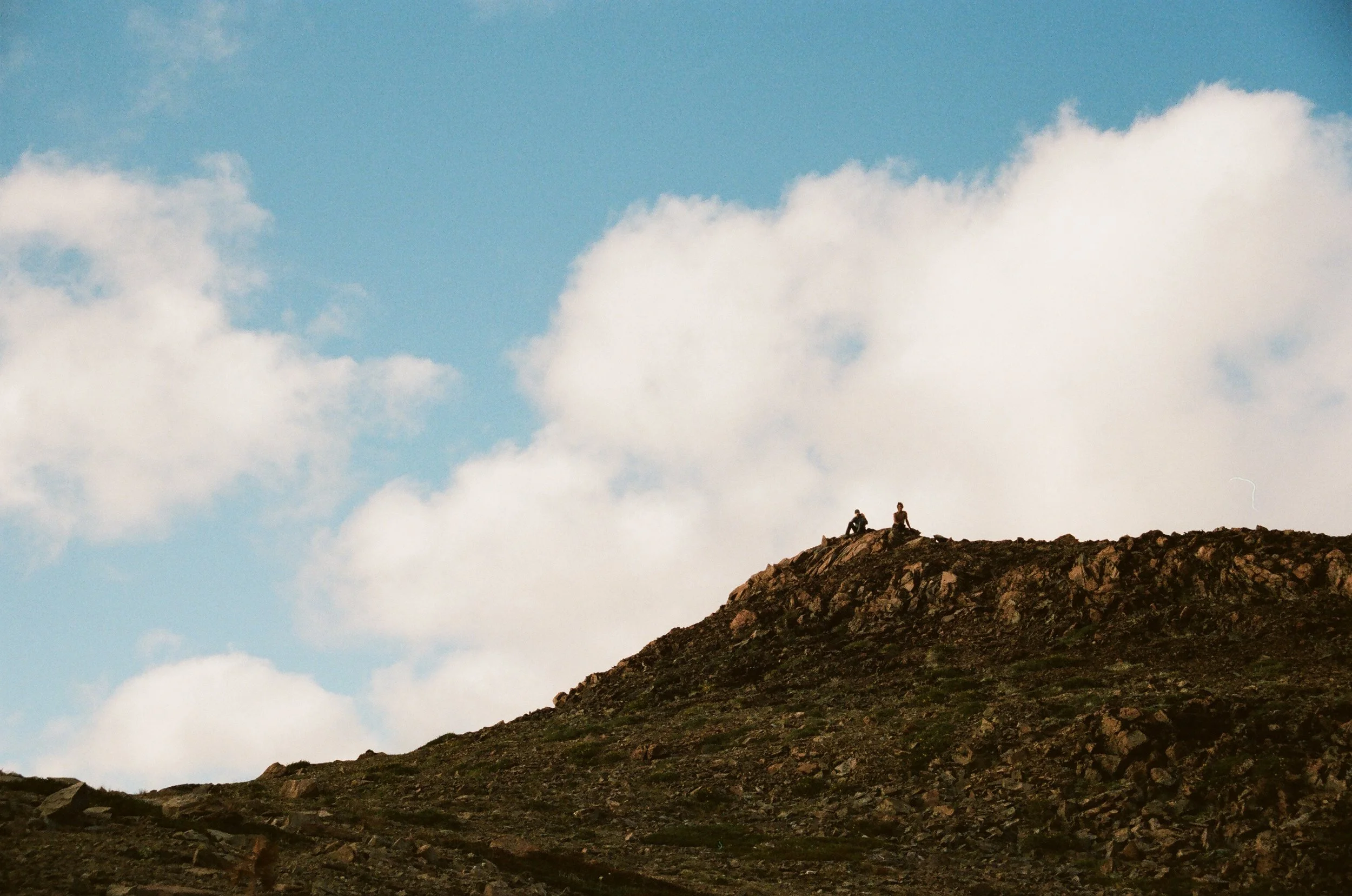
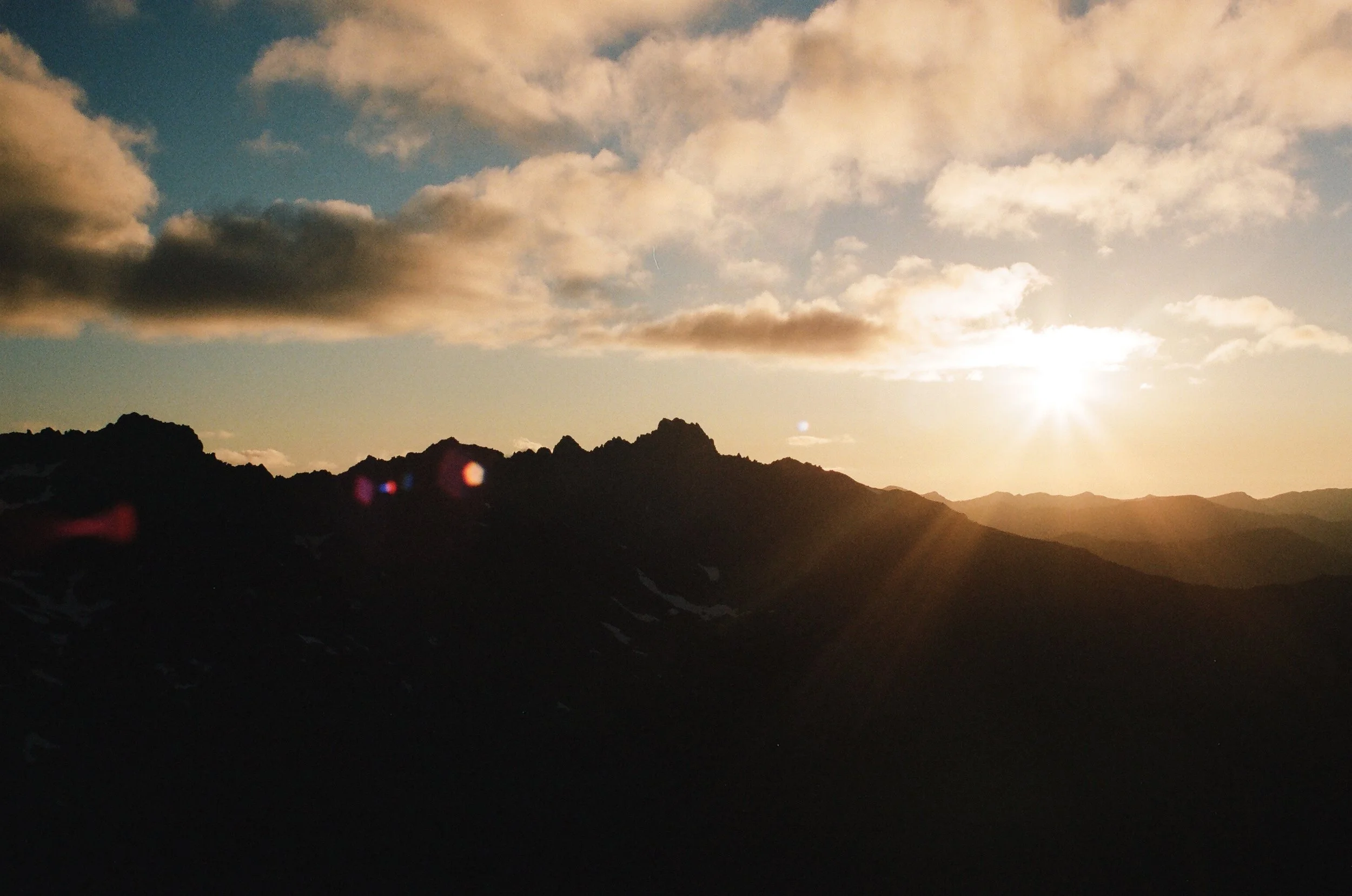
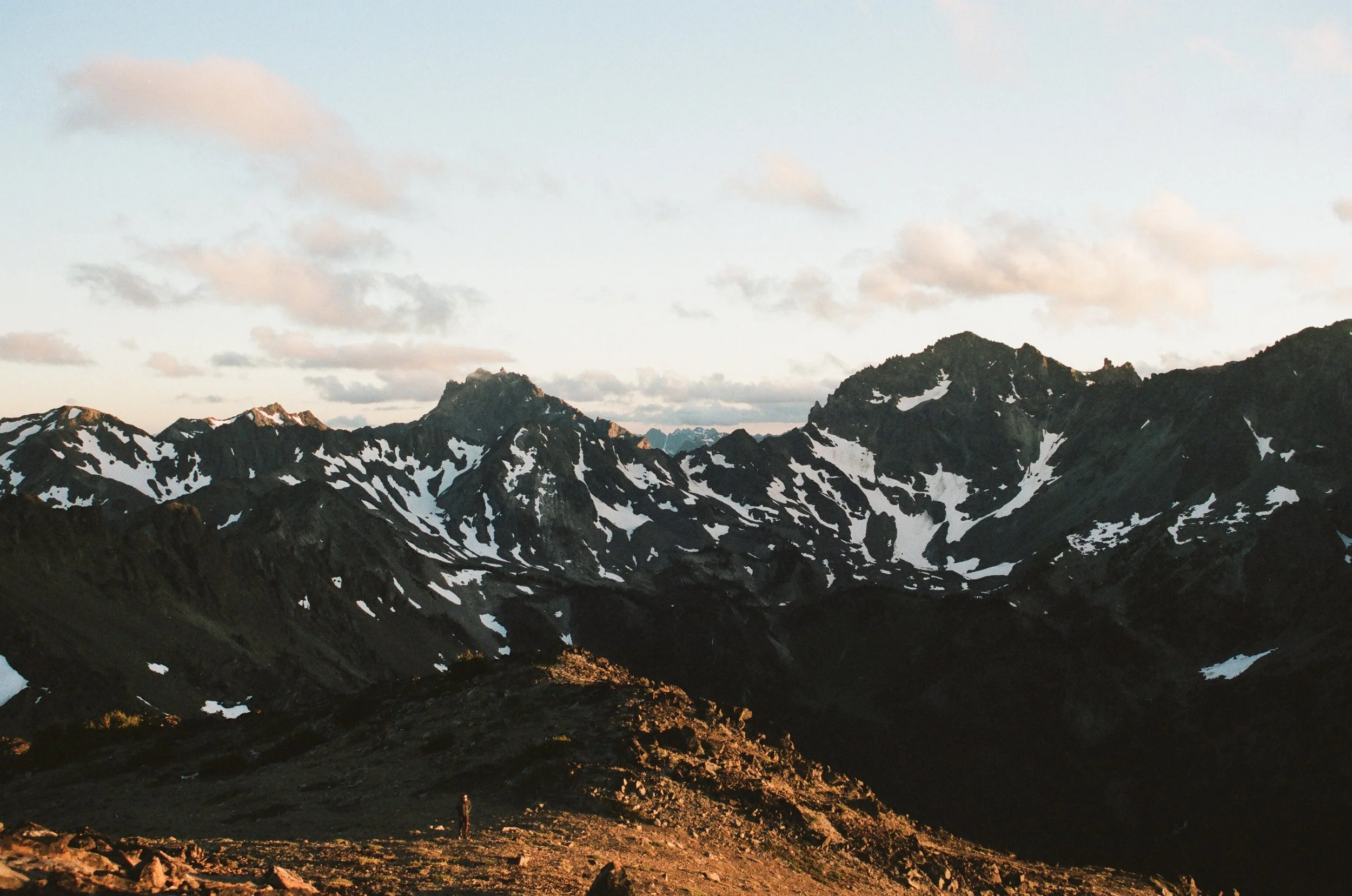
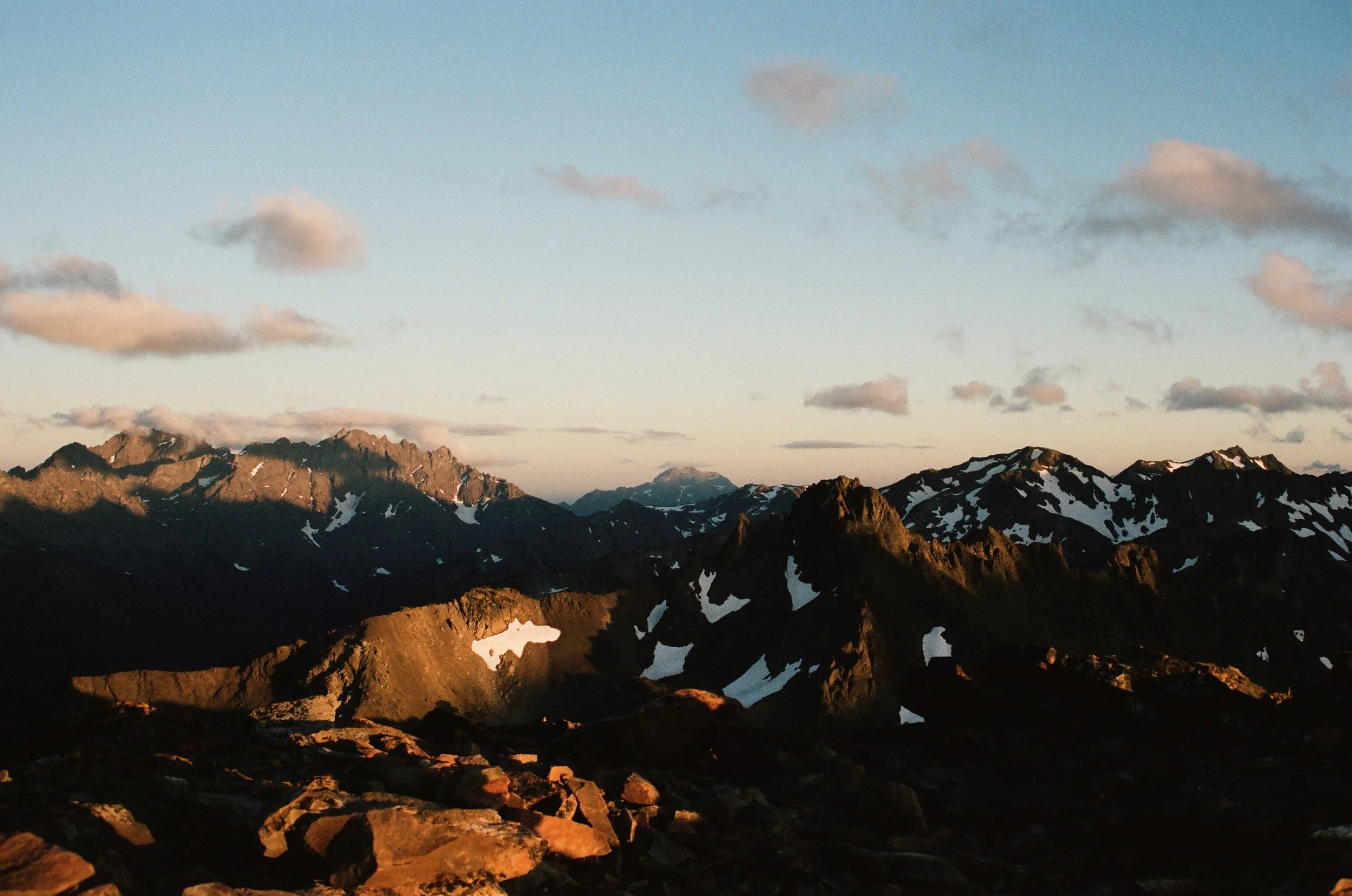
Perched on the false summit, we ate and enjoyed the sun as it began to set. Some fellow hikers climbed up from the lake to check out early sunset before heading back down to their camps at the lake. I watched them climb down, descending into the valley of Goat Lake now cast in shadow. I was glad to be up here where the light still shown, and from where we could watch the colors of sunset change minute by minute.
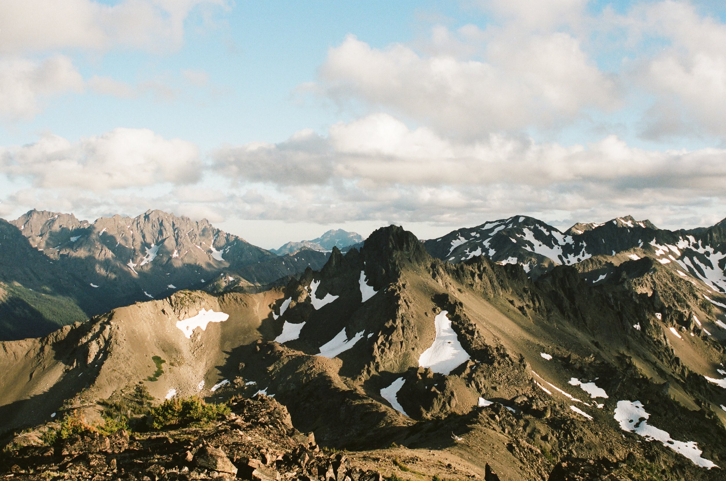
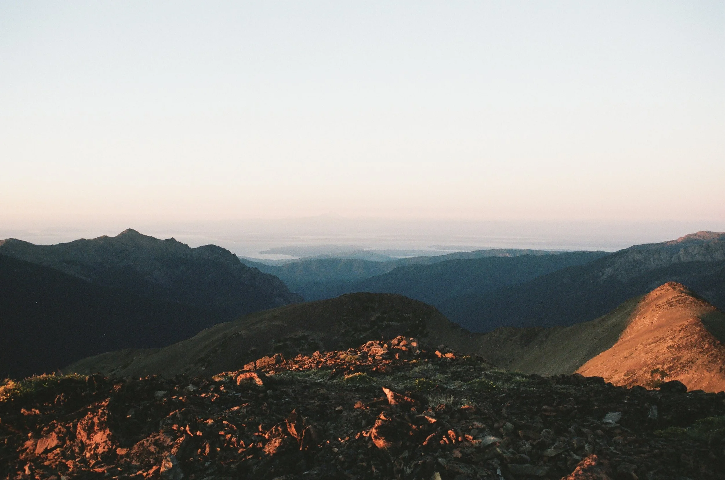
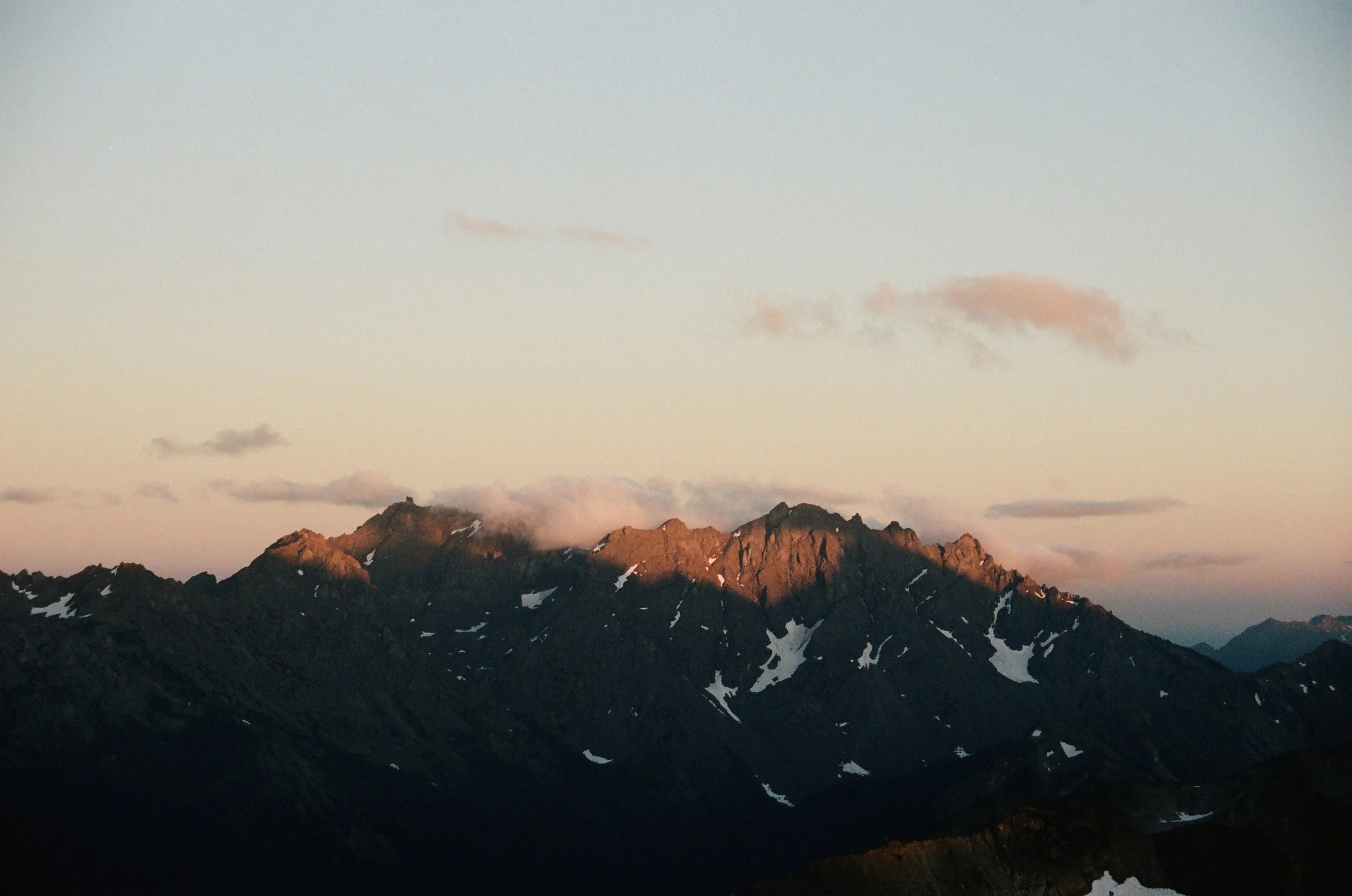
Big swaths of cloud floated by, coming from the Pacific and heading off towards the Sound and cities in the east. A few got caught up on the surrounding peaks and began to turn shades of pink as the sun sunk lower. The light was golden, the clouds shades of pink and purple, I stood on the summit shooting through rolls of film.


